 |
|
Archway - Tower Bank |
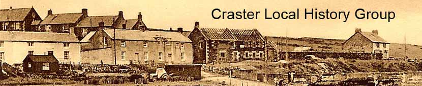
Dunstanburgh RoadThe header photograph on the site shows the northerly end of Dunstanburgh Road some time in the 1950's, when the smokehouse was being demolished to clear the way for the modern terrace that occupies the site now. The following is an early photograph showing the smokehouse at the northern end and the single story row of cottages at the southern end.
The following photograph shows the southerly terrace of Dunstanburgh Road in the days before a second floor was added to some of the cottages. The foreground shows the centre of Craster devoted to the village's fishing boats. To the left of the picture, at the front, is the square base of a bark pot, with the pot and stirrer on the ground. The bark pots were used to soak fishing nets, lobster pots and line in a water proofing solution made using the bark of a tree and known as 'cutch'.
The following photograph shows the same terrace from the harbour foreshore. The two cottages on the left can be seen to have only one floor. The triangular structure in the midle ground has the appearance of a hen coop. In the foreground a group of women may be seen cleaning and baiting fishing lines. The onlookers were probably drawn to the scene by the camera.
The smokehouse at the northern end of Dunstanburgh Road was demolished in the early 60's and replaced by the modern terrace that stands in its place now. The pair of semi-detached houses through the gate into the field are older than they appear, having been built C1905.
West QuayThe west quay of the harbour runs parallel with the houses of Dunstanburgh Road. Between the quay and the houses are some stone structures and walls enclosing attractive gardens. It was not always so! A plan of the harbour dating to 1853/4 shows a structure in the centre of this row of gardens, which it describes as a 'coal store'. The origins of the stone walls and ruins are not documented. No photographs of the former buildings have come to light. The following images are taken from an early photograph; they show these structures in two sections - first the southern part and then the northern part.
This photograph probably dates to C1900; it appears to show the ruins of a small building with windows, enclosure walls and a small stone hut. The houses of Dunstanburgh Road and West End date to the nineteenth century and were built to accommodate the fishermen and their families when the village moved down to the sea. It is possible that these structures bordering the west quay were the original bait huts and bothies of Craster Seahouses, in use before the 'modern' houses were built; in use as workshops and, at most, temporary accommodation for the fishermen. The full photograph shows that, prior to the harbour being excavated, the rocky foreshore to the front of the west quay rose in a gentle slope, much as it does now in front of the Jolly Fisherman, right up to the ruins of the old walls. This means that just as the west quay now is swept by waves pushed by a strong north easterly wind, so it was then. This suggests that it is unlikely that these ruins were once cottages where families were resident. The following photograph, taken on May 17th 1964, shows the 'new' terrace that replaced the old smokehouse some time after its construction.
|


 |
Home Programme Membership Archive War Memorials History Walk Miscellanea Links Contact Us